Santa Rosa Plateau 2, California, January 29, 2014
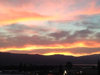
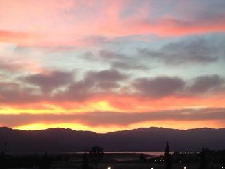
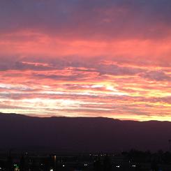
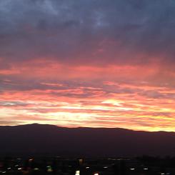
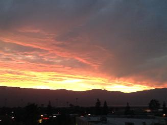
Some beautiful sunsetsI am going to start today's travelogue with a bit of an art gallery of the sunsets that we have observed the past couple of evenings. In the first two, you can perhaps make out the reflection on the lake.
Some of the photos are square because apparently I changed one of the settings on my iPhone camera - doh!!
|
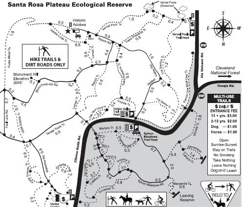
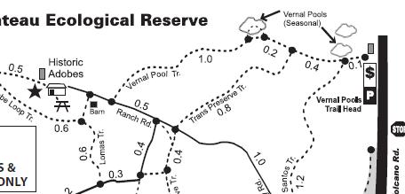
Santa Rosa Plateau Ecological Reserve, Second VisitA couple of days ago, we walked part of the Santa Rosa Plateau Ecological Reserve. To refresh your memory, this is their map.
Today, we walked the upper right corner of the map, parking at the Vernal Pools Trail Head, taking the Vernal Pools trail to the Adobes, and returning via Lomas Trail and Transpreserve Trail.
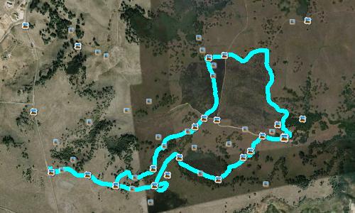
Remember, the official maps have N at the bottom. So, here is the Google Earth view of our 7.4 km walk today, with N at the top:
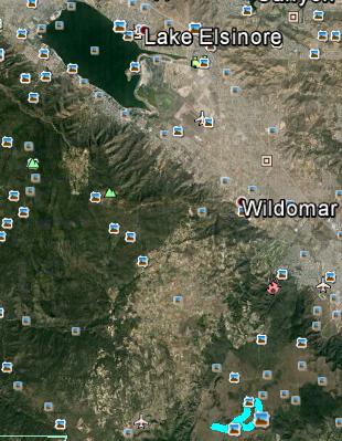
For a bit of context as to where this ecological reserve is geographically, this zoomed-out view from Google Earth shows both our walk and beautiful Lake Elsinore.
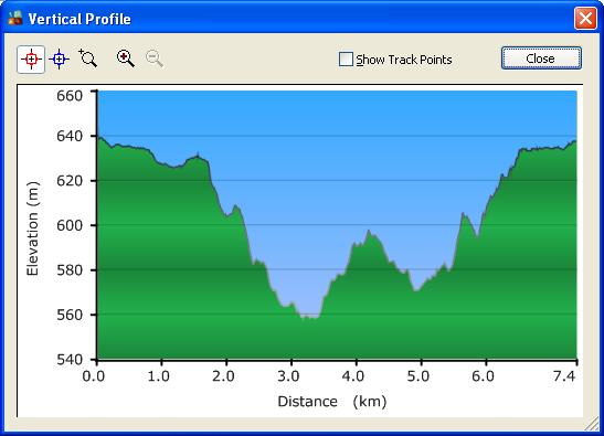
And finally, here is the elevation profile of our walk - a fairly gentle hike, with the highest point only about 80 m above the lowest point.
An amusing incident occurred as we were returning to the car. We had just crossed the intersection of the Transpreserve Trail and Ranch Road, and were about to start climbing a hill - the one at about the 5.5 km mark in that elevation profile. A jogger on Ranch Road called out to us that the hill was very steep. Perhaps he was concerned because of the visible brace I was wearing. I thanked him, and said that I thought we could manage it. When we got to the top, we asked each other if we thought that the hill had been unduly steep. The answer was NO! So I guess I'm more capable than the average person hobbling along on those hills. YES!!! |
|
Now for some photos.
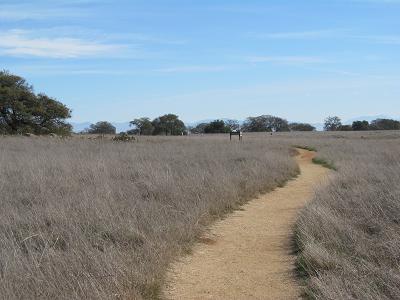
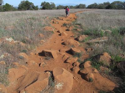
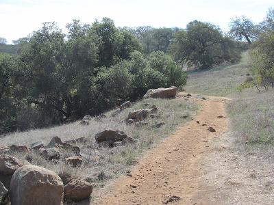
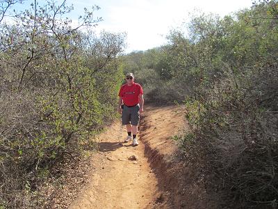
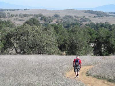
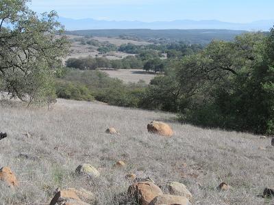
First, a few shots of the types of trails we walked on today. A lot of variation. I don't like rocky trails!
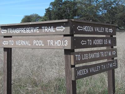
Good signage.
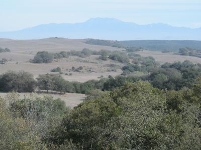
More views of rolling hills and trees and rocks.
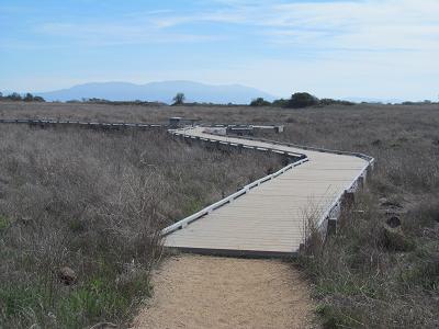
As suggested by the maps above, there were a couple of points of interest in this walk. The first was the Vernal Pools. OK, it's not spring time yet, and California is in the middle of a drought. So when we speculated that perhaps the pools would be dry, we were bang on. Here is a boardwalk that might be more useful when it is wetter. (It's the little loop at the center bottom of the Google Earth shot above.)
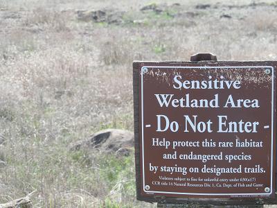
And this sign might be more meaningful if the term "wetland" had any significance!
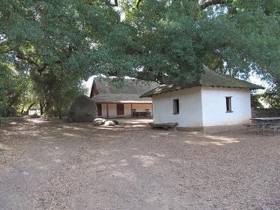
The other point of interest is what they call the Adobes. This is the remains of the residence portion of a huge ranch that used to occupy this land (over 40,000 acrees). These buildings are made of adobe.
|
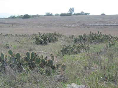
Flora and FaunaPrickly Pear Cactus
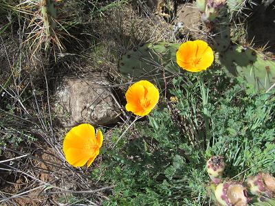
California Poppies
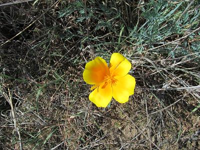
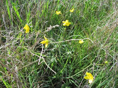
Pretty yellow flowers
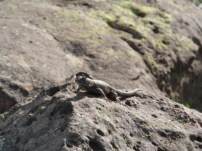
A lizard soaking up a few rays
|
|
Afterwards, we went for lunch, then came back to the hotel. Stephen hit the pool. I hit the keyboard.
As usual, tomorrow's activity has not yet been planned. |