Santa Rosa Plateau Ecological Reserve, California, January 27, 2014
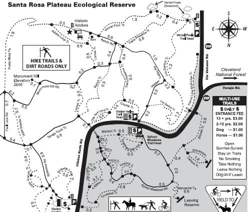
Jan 27 - A walk through rolling hills and fieldsIn researching what the Lake Elsinore area could offer us in terms of our usual form of amusement, hiking/walking, Stephen uncovered the Santa Rosa Plateau Ecological Reserve. Before leaving Calgary, we downloaded and printed a copy of their map, and headed out today. Notice how this map shows a lot of trails! And an entrance fee...
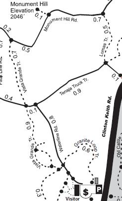
We did the trails on the bottom-left portion of the map: parking at the (closed because it's Monday) Visitor Center and then walking the Waterline, Vista Grande, Monument Hill, Lomas, and Tenaja Truck trails, returning by retracing the Waterline trail.
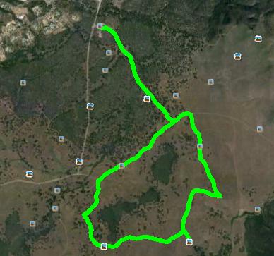
Of significance, only to make the next shot meaningful, is that the official maps have N at the bottom. Some of us are more comfortable with N at the top. Sigh... So, here is the Google Earth view of our 8.4 km walk today, with N at the top:
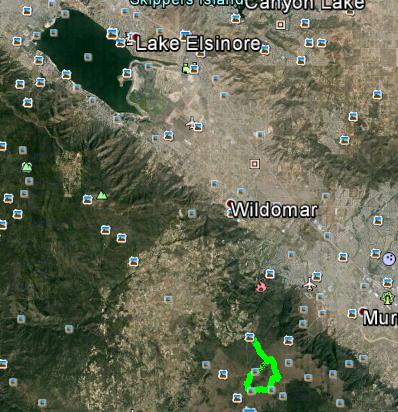
For a bit of context as to where this ecological reserve is geographically, this zoomed-out view from Google Earth shows both our walk and beautiful Lake Elsinore.
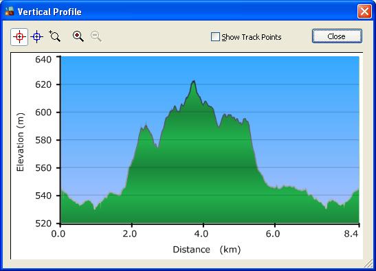
And finally, here is the elevation profile of our walk - a fairly gentle hike, with the highest point only about 100 m above the lowest point.
|
|
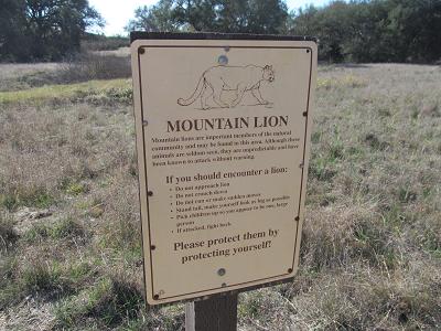
Here are the photos from today's stroll. You just gotta admit, it's always a bit disconcerting to start a hike by seeing this type of sign!
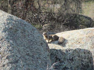
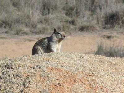
Fortunately, the only wildlife that we saw were a couple of squirrels.
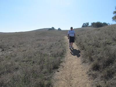
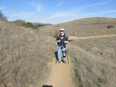
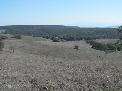
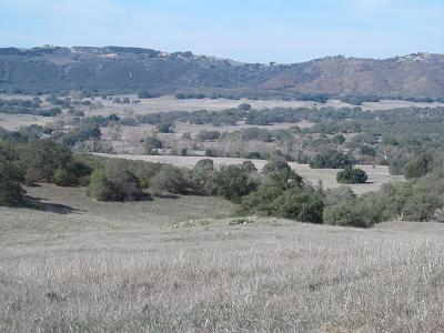
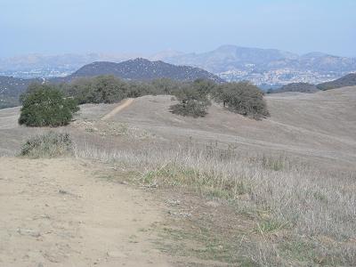
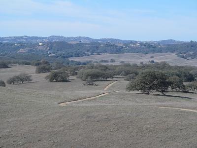
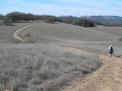
California is in a drought right now, so the scenery tends to look like a desert - not a lot of greenery. Of course, the fact that it is January may also be of significance! Very drab colours - much like Calgary in September (before it turns white). First, the We-were-here photos. You'll notice that Stephen is wearing shorts and a T-shirt - the temperature was in the low to mid 20's - quite comfortable for such a walk.
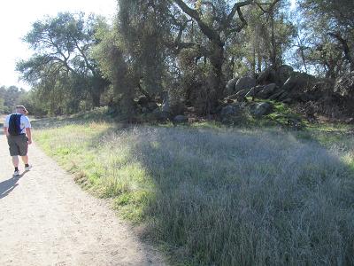
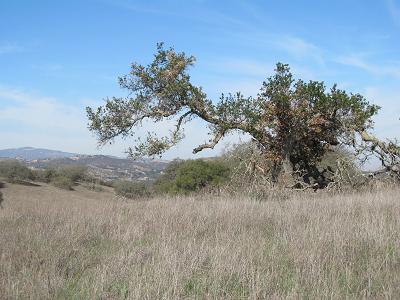
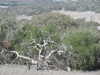
And now for the scenery. You know, it reminds me quite a bit of the Ann and Sandy Cross Conservation Area just south of Calgary - rolling hills, trees, and trails.
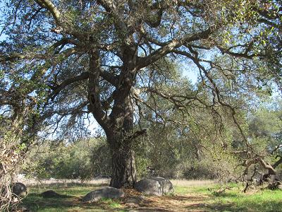
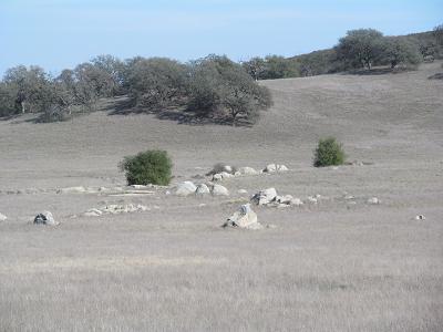
Lots of rocks. BIG rocks.
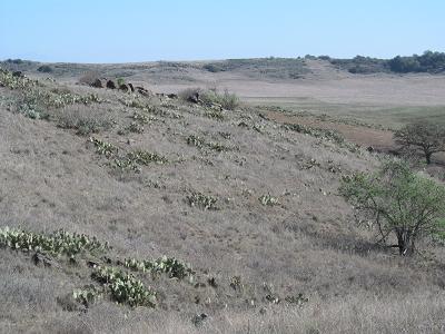
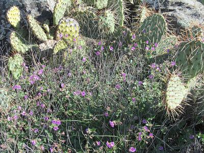
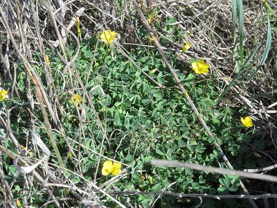
There was one section with a lot of cactus plants. We got up close and personal with them, and actually discovered some other blooming flowers!
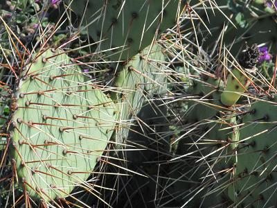
Check out the prickles on these prickly pears! Off to the right is what might just be a cactus flower some day, if there is enough rain.
|
| Afterwards, we went to nearby Wildomar for lunch. Then back to the hotel for some rest. |
| There are enough trails here, I do believe that we will return before we leave this area. |