Poway, California, March 2013
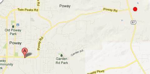
Mar 29 - Iron Mountain hikeWe have driven past this little mountain many times in the past. We have known about the relatively short trail to the top from several books and websites. So, today was the day to do this hike. Now, today being Good Friday, it wasn't surprising to see a lot of hikers on the trail. Well, actually, it was hordes of hikers! There were a LOT of people on the trail today. It is important to note that once we actually decided to do the hike, the mountain looked somewhat larger that what we remembered! First, here is a map showing both our hotel (the red light bulb) and the trailhead (the red dot to the right). The trailhead parking lot was only a few minutes drive from the hotel.
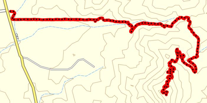
This shot shows our track, and a whole bunch of topographic lines and switchbacks as we climbed the mountain.
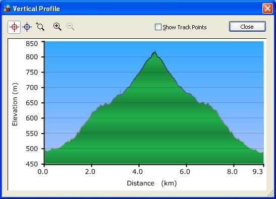
This shot shows the length of our hike (9.3 kms) and the elevation profile. Yep, you go up about 320 m, then you come down.
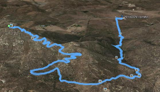
For this Google Earth shot, I tilted it so you could actually see that it was a mountain. And this is looking westward.
|
|
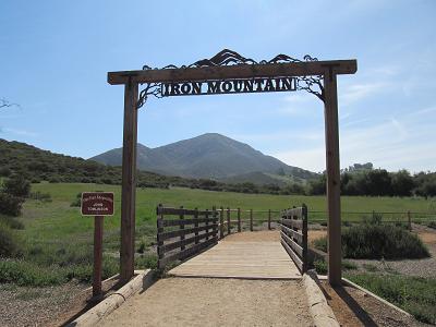
Right at the trailhead was this gate, which nicely frames Iron Mountain off in the distance.
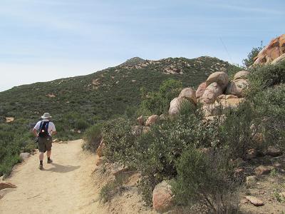
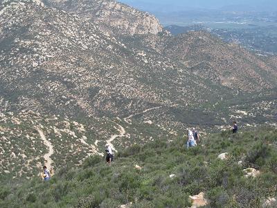
The trail varied from being smooth and walkable to being quite rocky and stair-climbish.
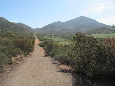
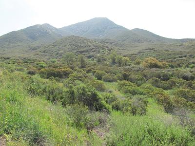
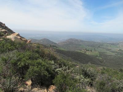
This shot shows the general greenery, with the mountain in the distance.
Here are some of the sights that we saw on the way up.
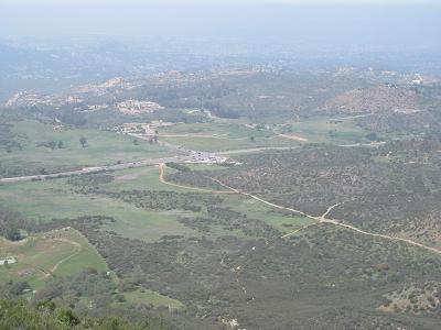
We could look down to see the parking lot off in the distance.
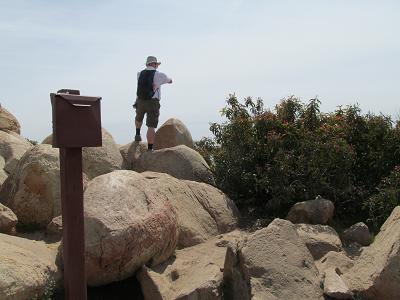
Here are some shots of and from the summit. First, Stephen had to climb just a little bit higher. The mailbox contains a notebook for climbers to add a comment, should they desire. We didn't.
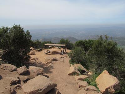
There were a couple of picnic tables at the top. Here is where we had our lunch. And yes, that's smog in the distance. We could clearly see brown haze looking westward.
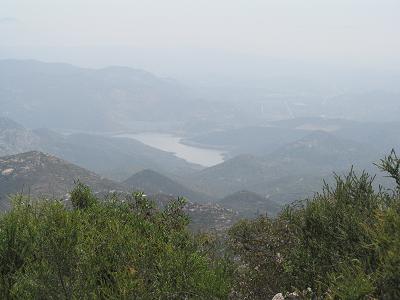
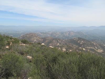
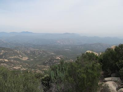
Some views from the summit. They're not great - it was really hazy (or smoggy).
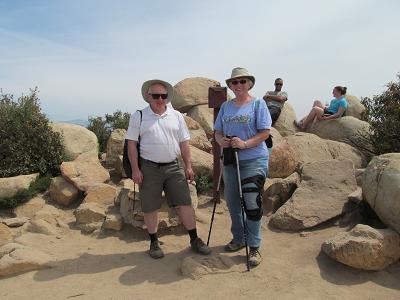
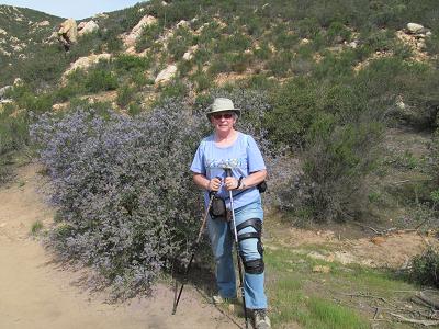
We asked another climber to take our we-were-here photo.
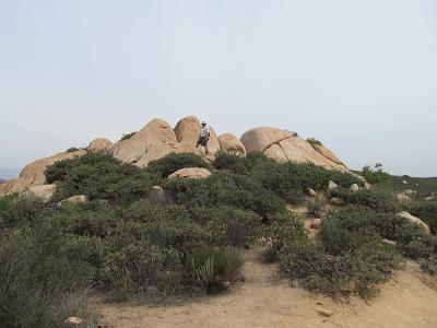
On the way down, Stephen felt inspired to check out this rock formation.
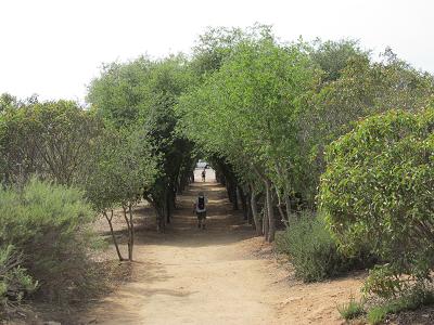
One of the nicest parts of the trail was at the beginning/end - for about 50 m or so, we walked through this arch of trees.
|
|
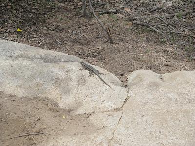
Some animal life - there are a lot of geckos here. We also saw one that had lost its tail, but it moved too fast for the camera.
I love these blue shrubs.
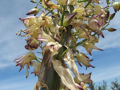
We saw a yucca in bloom.
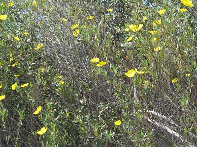
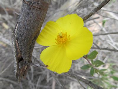
Some yellow flowers, including a closeup.
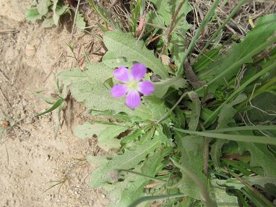
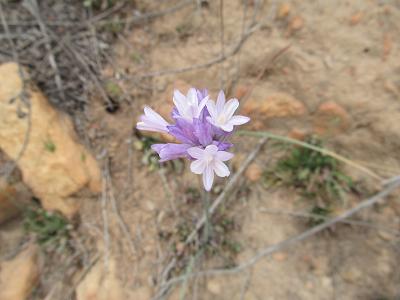
A couple of different varieties of purple flowers.
|
|
For me, the downhill part was very difficult - and painful. It took us 2 hours to get to the top, but 2.5 hours to get back down. I go downhill quite slowly anyway, and especially slowly on the rocky parts.
After we got back to the car, we drove to a grocery store to pick up something for supper, and then we went back to the hotel. I'm not moving much now. I'm really dosed up on painkillers! Today was definitely our most strenuous hike this trip. So I think that tomorrow will be a rest day. |