Poway, California, March 2013
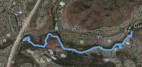
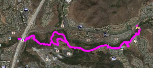
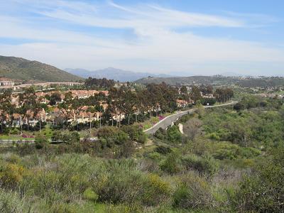
Mar 27 - South Poway Trail againHaving discovered this thing called the South Poway Trail yesterday, Stephen did the appropriate research, and discovered that this is really a lengthy trail system. So we decided to do the west end of it. Stephen found a place on Google Earth that looked like a parking spot, so that's where we headed. It turned out to be a church parking lot, but since it's Wednesday, we figured there wouldn't be any issue. Our first challenge was to get from that parking lot to the trail. Fortunately, we had a GPS route of the trail, and we could tell that we weren't far away. So off we trekked. Our route basically started at the church and headed due west until we were just about under the I15 freeway. We found a cool place to have lunch (more about that later), and after lunch, Stephen did a bit more walking and found that the trail actually continued on the west side of the freeway. But since that's not part of Poway, I guess it's not part of the South Poway Trail! On our outbound trek to the freeway, we observed a hill that appeared to have a rough path going up to a flag at the very top. On the way back, Stephen decided that he just had to take the direct route, while I skirted the hill. So here are the Google Earth views for both of our tracks. Mine is first (because I'm writing this!!) The red dot on my view is where Stephen's hilltop is.
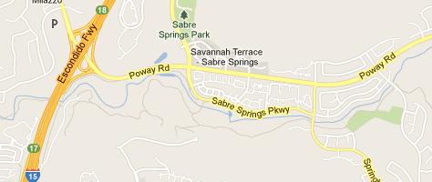
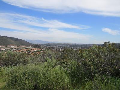
This map view shows our general area:
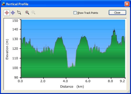
And this shows MY elevation profile. Not a whole lot of elevation change - 30 meters in 4.6 kilometers is really nice on my knees.
|
|
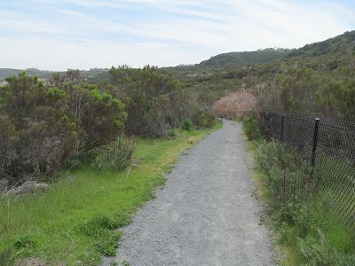
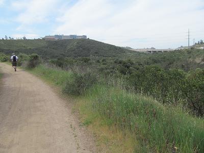
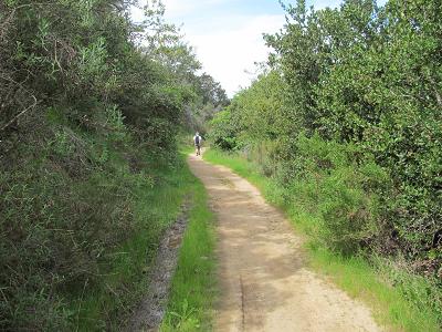
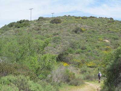
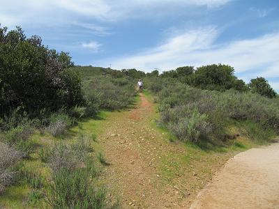
Here are some shots of the trail. It is a typical urban trail, but there is some variety. The second photo shows the freeway off in the distance.
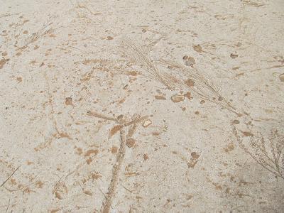
A small portion of the trail was concrete, with what looked like fossils embedded in it - an interesting touch.
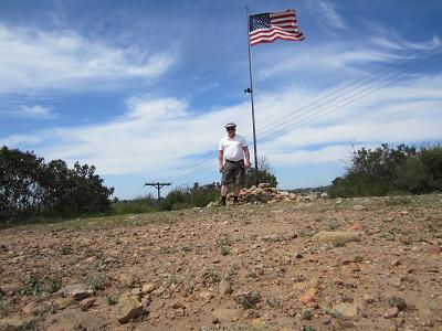
Here is Stephen contemplating the hill he is about to climb.
And here he is, coming down the hill on the other side.
Here are a few photos that he took while up at the top.
|
|
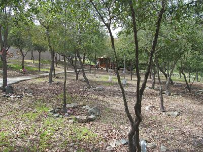
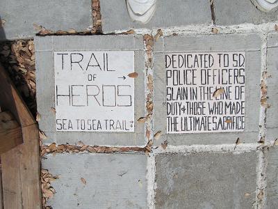
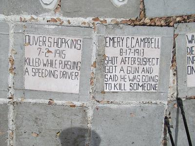
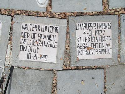
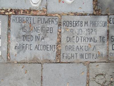
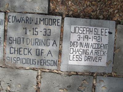
I mentioned earlier that we were at a cool place for lunch. At the end of the trail, by the freeway, we came upon this memorial grove, complete with picnic benches and a gazebo.
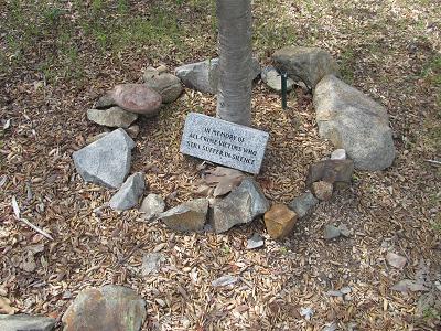
At the entrance was this plaque "In Memory of All Crime Victims who Still Suffer in Silence" - interesting.
By the picnic benches, we saw these plaques / stepping stones. This kind of explained the grove. (Those are my shoes visible at the top of the pictures - I had to stand on that side to avoid me casting a dark shadow on the stones.)
|
|
And here are some photos of our hike.
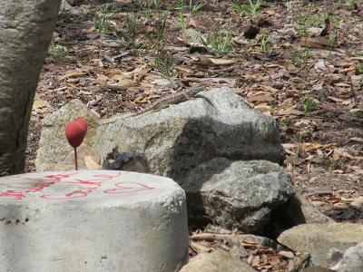
There's a gecko (I think) on the rock in the middle of the photo.
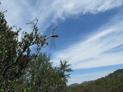
This looks like a dragonfly got caught in a spider web - you wouldn't think that a spider web would be that strong, but the dragonfly obviously lost in this encounter.
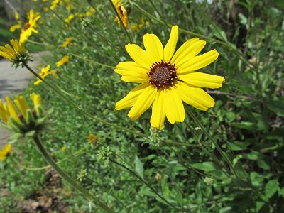
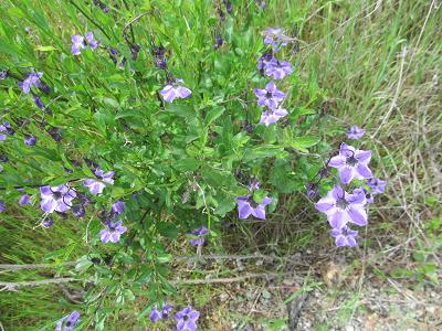
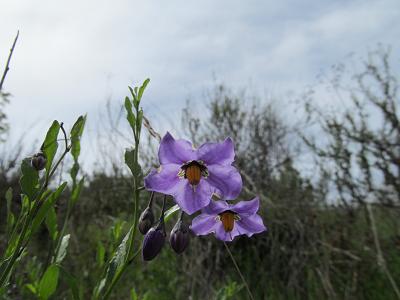
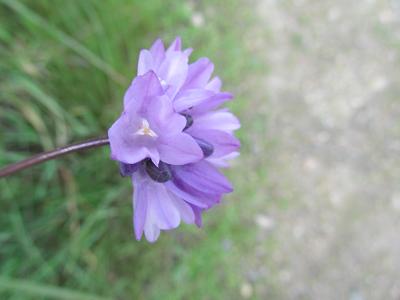
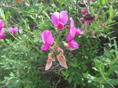
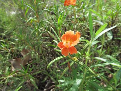
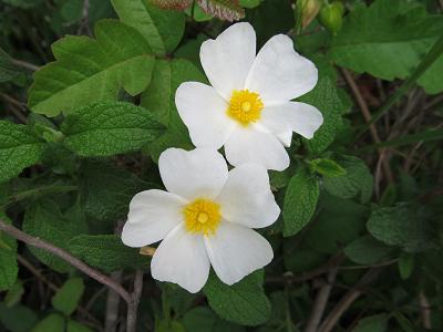
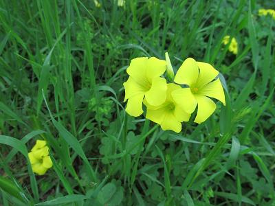
And, of course, some flowers - because I love flowers.
|
|
After the hike, Stephen asked our GPS where the nearest Ben & Jerry's was. He directed us to a mall, where the B&J was quite invisible. But there was a small shop selling Hawaiian shaved ice. So that was what we had to help us cool off a bit. Yummy!
Tomorrow is as yet unplanned. This is as it should be! |