Chino Hills, California
February 2, 2014
Today we went to the Chino Hills State Park. Their map is here.
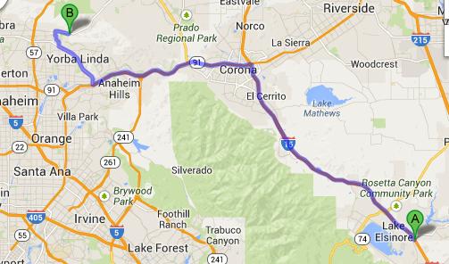
For a bit of context, here is a Google Maps view showing where we went to relative to our hotel in beautiful Lake Elsinore. It was about 70 kms away.
There are a bunch of trails here, but the one that we were most interested in was along the floor of a canyon. It appears to have been a road at one time, so it's reasonably level. But in the hills alongside the canyon are many other trails, and mountain bikers love them - we met and/or were passed by many bikers, in addition to other walkers.
An analysis of the map noted above suggested that there was the possibility of doing a bit of a loop, if one was open to some ascending and descending. Only one of us was up to that - as well as the additional kilometers that the loop would entail!
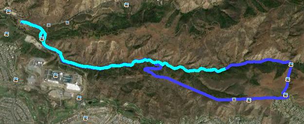
So at an appropriate point, Stephen took off up a hill, planning to loop around and return via the canyon trail.
I chose to plod onward for about another kilometer and then return to the car.
That way, just like yesterday, Stephen could hoof it at his own pace, and I could plod along at my own pace, and we would both be happy.
The plan worked. Stephen caught up to me about 300 meters from the starting point.
Anyway, this Google Earth show shows both tracks. The starting point is at the left end.
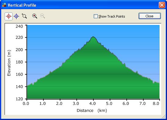
The canyon floor trail seemed relatively level, but as my elevation track below shows, there was a definite gradual ascent to my turnaround point. Of course, 80 m in 4 kms is only a 2% grade - hardly noticeable at all - except that my knees notice even that small a grade when going downhill. I probably should have realized that there was a slight incline as we were heading out - most of the bikers coming our way were coasting, while the ones that passed us were working a bit harder.
Stephen's elevation profile is much more interesting.
So I went 8 kms and Stephen went 11.3 kms in about the same time!
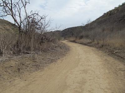
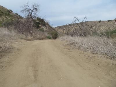
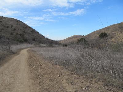
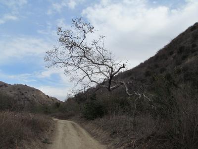
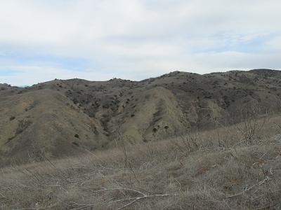
Here are a few shots of the canyon floor trail.
This is a funky tree
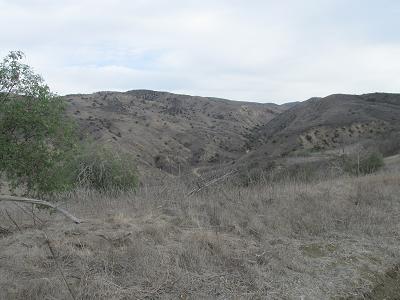
This is Stephen's shot of the ridge trail.
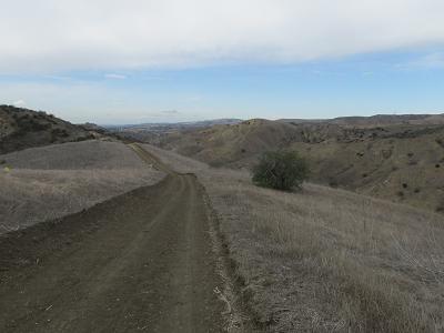
These are shots from the ridge looking down into the canyon.
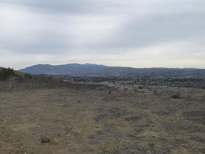
And from on top, at a place called Glider Point, you can see the Los Angeles basin.
Afterwards, we went for lunch. Finally, the third try being successful, we found an On The Border restaurant. Only to find that my favorite dish there had been re-reciped! It was still nice, but I'm getting to that stage in life where I don't like changes like that!!
Prev Next
Chino Hills State Park

Now for some photos. We didn't take a lot of pictures. Basically, we're getting fairly tired of the drab scenery.
Again, the day was quite cool. It was close to freezing this morning. We were hiking in temperatures in the low teens.