Centennial Trail, Spokane, WA
BackgroundAs mentioned earlier, I used this book as a reference for trails in and around Spokane.
For today, though, it just pointed us in the right direction, more or less. Because we had also learned about a 37-mile-long bike trail, called the Centennial Trail, that starts at the Idaho border and ends a bit northwest of Spokane, in the area referenced by the above book. So we chased down the coordinates for a parking lot, and off we drove. (Note: we only did a few miles, not the full 37!)
And when we arrived, we learned that we needed a Discovery Pass to be able to park there.
It seems that Washington has done some economic analysis of its recreation facilities, and decided that user-pay is the way to go. $30 buys you a full year's Discovery Pass. And $10 buys you a 1-day pass. And we're pretty comfortable with the user-pay concept.
Now we had the same situation at the parking lot where we went yesterday. But yesterday, there was an opportunity to put $10 into an envelope, put the envelope flap on the dashboard, and put the envelope into a lockbox.
So, today we hunted around for a pay station. Nada.
Based on our reading of the book, we speculated that a parking lot a couple of miles away might have a pay station, because it had many more services.
So we went to that parking lot, and found an official-type minimum-wage cashier willing to take our $10 off of us in exchange for a pass.
And back to the first parking lot, where we were finally able to haul out our bikes and actually go riding!
|
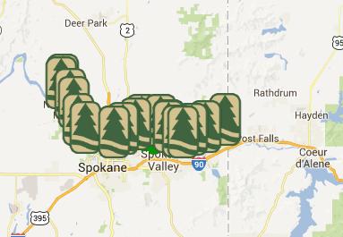
The GeographyThis funky map is from one of the websites about the trail:
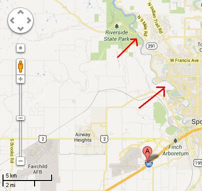
Here is a Google Map showing the location of our hotel (the red light-bulb-thingy), an arrow pointing to the north end of our ride (the parking lot), and an arrow pointing to the south end, where I turned around. Stephen, as usual, carried on for another mile or so before turning around.
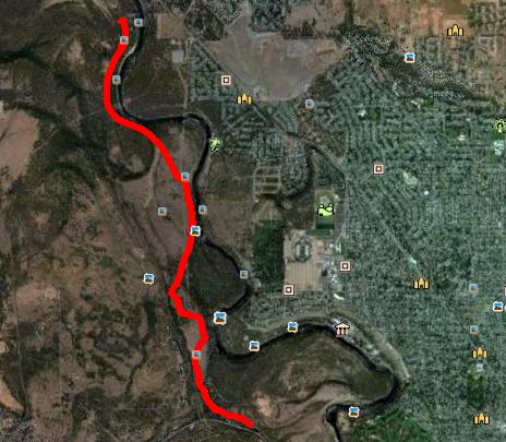
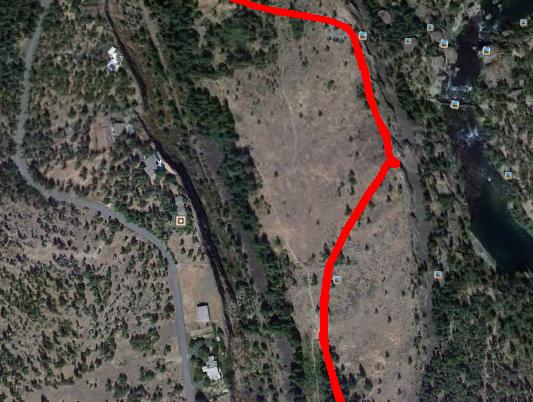
This is the Google Earth shot of our ride. This shows my track - Stephen carried on further south of where I turned around. That section was heading downhill, and I didn't feel like pushing my bike back up the hill! My track is 13 kms long. He went 19.6 kms in total. I got back to the car about 10 minutes before he did!
|
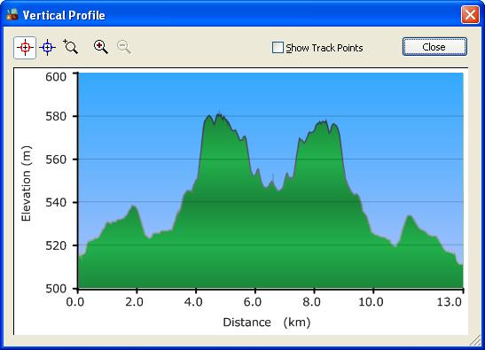
The TrailThe trail was paved - in fact, it's advertised as being wheelchair-accessible throughout. Having ridden it, I figure that they would have to be powered wheelchairs. It would take some really strong arms to go up the hills on this trail - and then some serious brakes on the corresponding downhill! Here's a shot of my elevation profile:
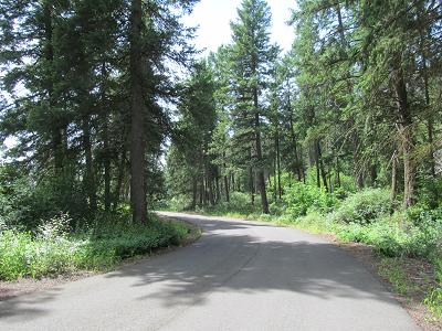
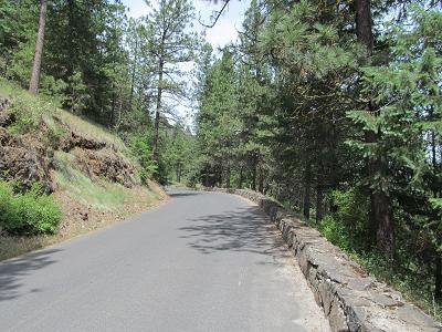
Some shots of the trail:
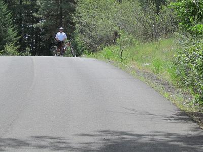
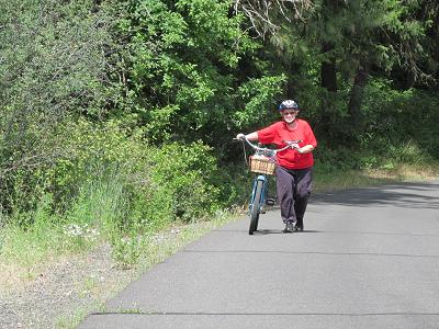
And at one of the hills, a photo of Stephen at the top of the hill waiting for me, followed by a photo of me plodding up the hill!
|
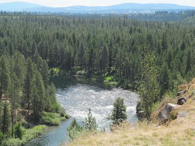
CliffsOur trail was quite a bit above the river below:
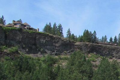
Our trail was also quite a bit below some houses that are planted right next to a cliff edge.
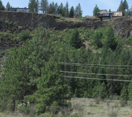
I tried to capture a Google Earth view of these houses:
|
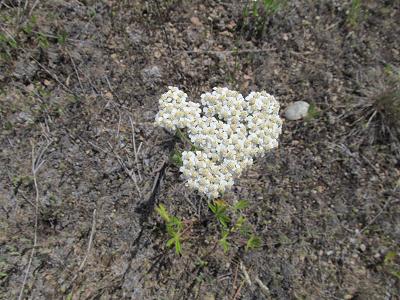
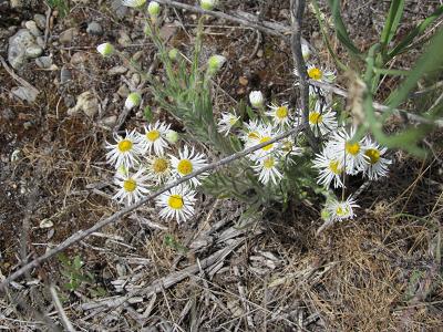
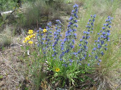
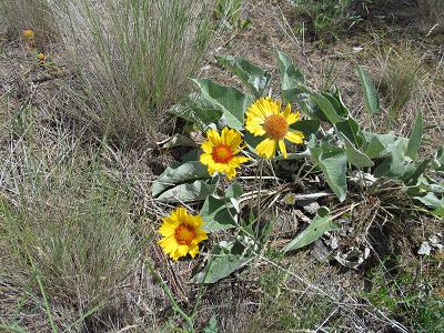
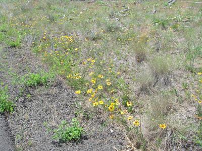
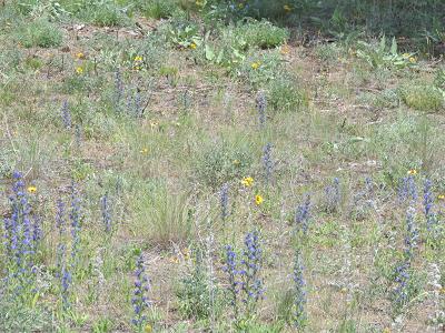
Flora and FaunaAs mentioned yesterday, one of the differences between biking and hiking is that if I am walking, I tend to stop to take photos of the flowers, but when I'm biking, I prefer to just keep on pedalling! But today, since I was ridiing back without Stephen, I took a few flower photos.
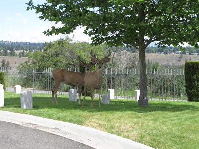
Stephen's extension southward brought him to a military cemetery, where he suddenly came upon a couple of bucks:
|
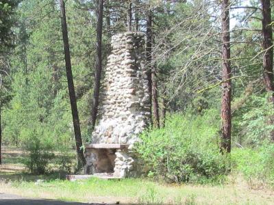
Strange ThingsShortly after we started the ride, we came upon this chimney, just standing out in the middle of nowhere.
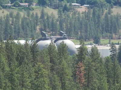
And off in the distance, we could see these round structures - not sure what they are.
|
TomorrowNo plans yet. It might be raining, in which case we might go shopping, because I need a new computer - the fan on this one is dying! |